Archaeological Survey
Surveys are conducted for a multitude of reasons whether assessing archaeological potential for planning purposes, topographical analysis, bulk analysis, progress reports or historical recording. Brook Archaeology offers geophysical prospection, GNSS planning, building surveys, heritage statements and drone surveys for archaeological or other purposes.
Desk-based Assessment (DBA)
Desk-based assessments (DBA) review the area the development is taking place in order to assess the archaeological potental. DBAs can be produced in advance of a planning application to satisfy the Local Planning Authorities’ pre-panning requirements or to inform prospective developers of the archaeological potential. During the planning process the DBA provides important information to the County Archaeological Officers to inform them early in the planning process which conditions may be required.

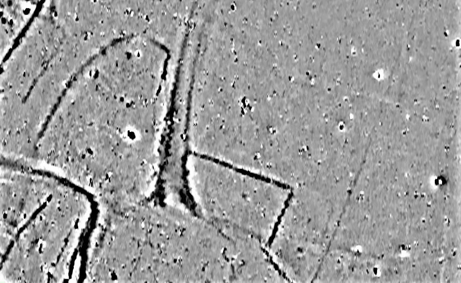
Geophysical Survey
Non-intrusive methods of assessing the archaeological potential for planning requirements. Darnley Archaeological Services use magnetometry, resistivity and ground penetrating radar to construct reliable archaeological interpretations of geophysical data for quick results.

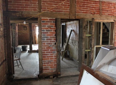
Building Survey
Informed decisions relating to the approval or implementation of development as part of planning requirements. Darnley Archaeological Services carry out Level 1 to 4 building surveys.

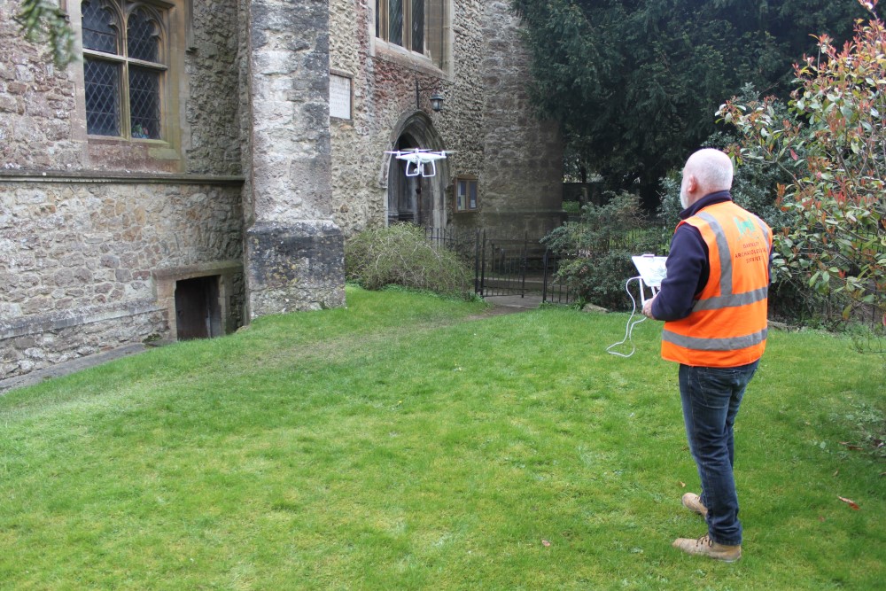
Drone survey
Allows the rapid collection of data and images, making it an excellent choice for topographical or buildings surveys. The combined aerial technology and computer software can produce 2D images of 3D photogrammetry models.

